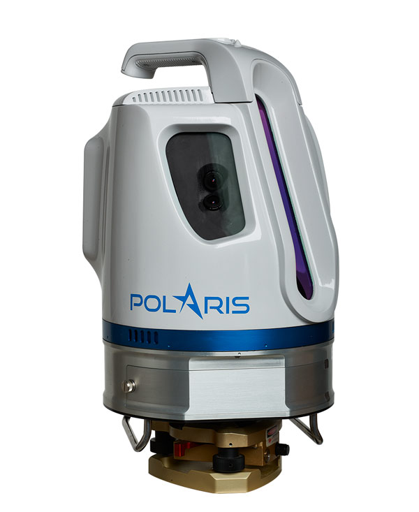
Polaris Terrestrial Laser Scanner

Polaris TLS
The Polaris 3D terrestrial scanner in the most affordable, versatile laser scanner on the market. It collects survey grade data with sub-meter accuracy. Its scanning field of view is 320 degrees x 120 degrees. It can be mounted on a tripod, on a vehicle or a moving platform. The Polaris has many built in features that every surveyor needs; a sunlight-visible touchscreen, automatic target detection, an integrated camera, inclinometer, compass, GPS receiver and weather proof housing. With this scanner you can set up one-click preset scanning plans so there is no need for training new operators.
Polaris Advantages
- Survey-grade data with sub-centimeter accuracy and high angular resolution
- Long-range surveying available to everyone at a low price point
- One-button surveying of prearranged plans for untrained operators
- Wide areas captured in a single scan by 360°×120° field of view
- Short setup time with in-field geo-referencing tools and automatic target recognition
- Rapid surveys thanks to high-speed data acquisition
- Easy extraction of meshes, features and models with ATLAScan software
Polaris Features
- 100% scanner efficiency
- Internal data storage
- Internal camera
- External camera option
- Sunlight-visible touchscreen
- Weather-proof housing
- Automatic target recognition
- User-friendly workflow
- Project planner
- Multiple lidar returns
- Tilt compensation
- GPS receiver
Polaris Applications
- Civil Engineering
- Construction
- Transportation
- Heritage
- Mining
- Forensics
- Forestry
- Coastal Management
- Shoreline Mapping
- Scientific Research


