MOBILE MAPPING
Trimble MX90
Achieve new levels of productivity.
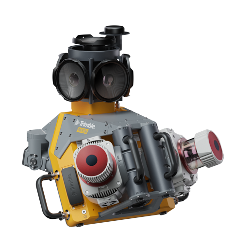
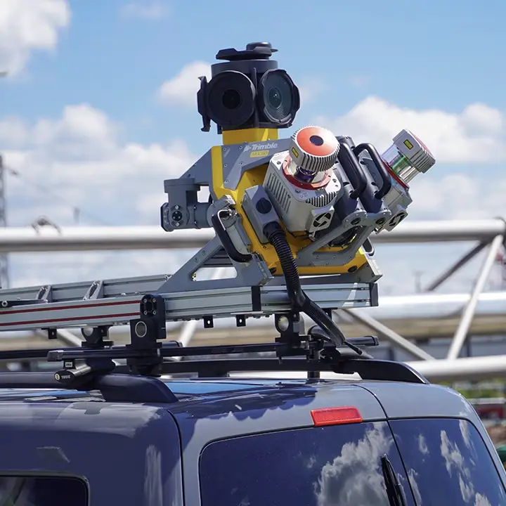
The Trimble® MX90 system is part of a complete field-to-finish mobile mapping solution that combines leading-edge hardware with intuitive field software and integrated office software workflow.
Product Specifications
Weight
Sensor unit 37 kg
IP rating
Sensor unit IP64
Spherical camera
72 MP (6 X 12 MP)
Planar cameras
2 X 12 MP side facing, 1 X 12 MP backward/downward facing
Laser effective measurement rate
Up to 3.6 MHz
Scan speed
500 scan/sec
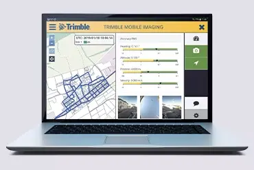
CAPTURE
Quickly obtain geospatial data
Control data acquisition with any smart device and easily adjust the lasers and oblique camera for the best orientation.
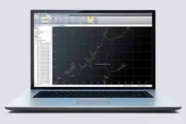
PROCESS
Combine GNSS & inertial data
Trajectory data processing using tightly coupled GNSS and inertial data incorporated into Trimble Business Center software

EXTRACT
High quality deliverables
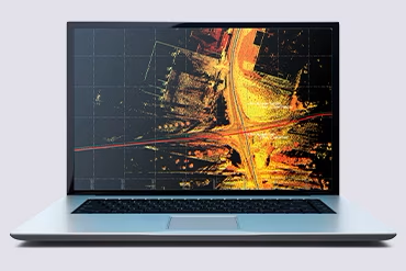
Create, inspect and analyze high quality survey, engineering CAD and GIS deliverables, by leveraging the data fusion capabilities of Trimble Business Center.
SHARE
Publish & collaborate
Avoid site revisits by sharing for-collaboration point clouds and images with overlaid existing asset data.
The MX90 rapidly captures highly detailed laser scans and imagery—both 360-degree panoramic and multi-angle. This rich, immersive data, captured at highway speeds, can be quickly processed to extract a wide range of meaningful deliverables to maximize the value of mobile mapping data to your organization.
Higher resolution images, better point cloud colorization and scene inspection capabilities enable new workflows, such as automatic crack detection.
In urban environments, zoom in and easily see small details on street signs, roads, pavement and other geographical and as-built features.
In open areas and large cities, capture more detail on distant objects, such as electrical or fiber poles.


