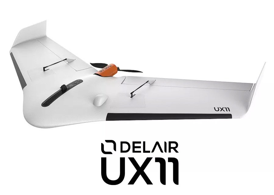
Delair UX11

With RGB industrial camera
Survey and Map with ease
- Endurance: up to 59 min
- Total weight: 1.4 kg
- Flight range: 53 km
- Deployment time: 5 min
UNLIMITED PHOTOGRAMMETRY
Process and analyze your drone data on delair.ai
Collect high quality aerial data with Delair’s easy-to-use, fixed-wing mapping drone, the UX11. It is equipped with an imbedded global shutter camera, a GNSS sensor with centimeter accuracy, post processing capabilities, as well as wireless and cellular connectivity. It can fly up to 59 minutes covering up to 300 acres at 400 feet in the sky. Finally, a professional drone that delivers survey-grade quality data!
Get unlimited photogrammetry processing on the delair.ai cloud platform
- Access two integrated photogrammetry engines in one platform: Metashape and Pix4Dengine
- Unlimited users, quick access anywhere at any time
- Unlimited photogrammetry processing: orthophoto, DSM, 3D point cloud, 3D model


