
MOBILE MAPPING
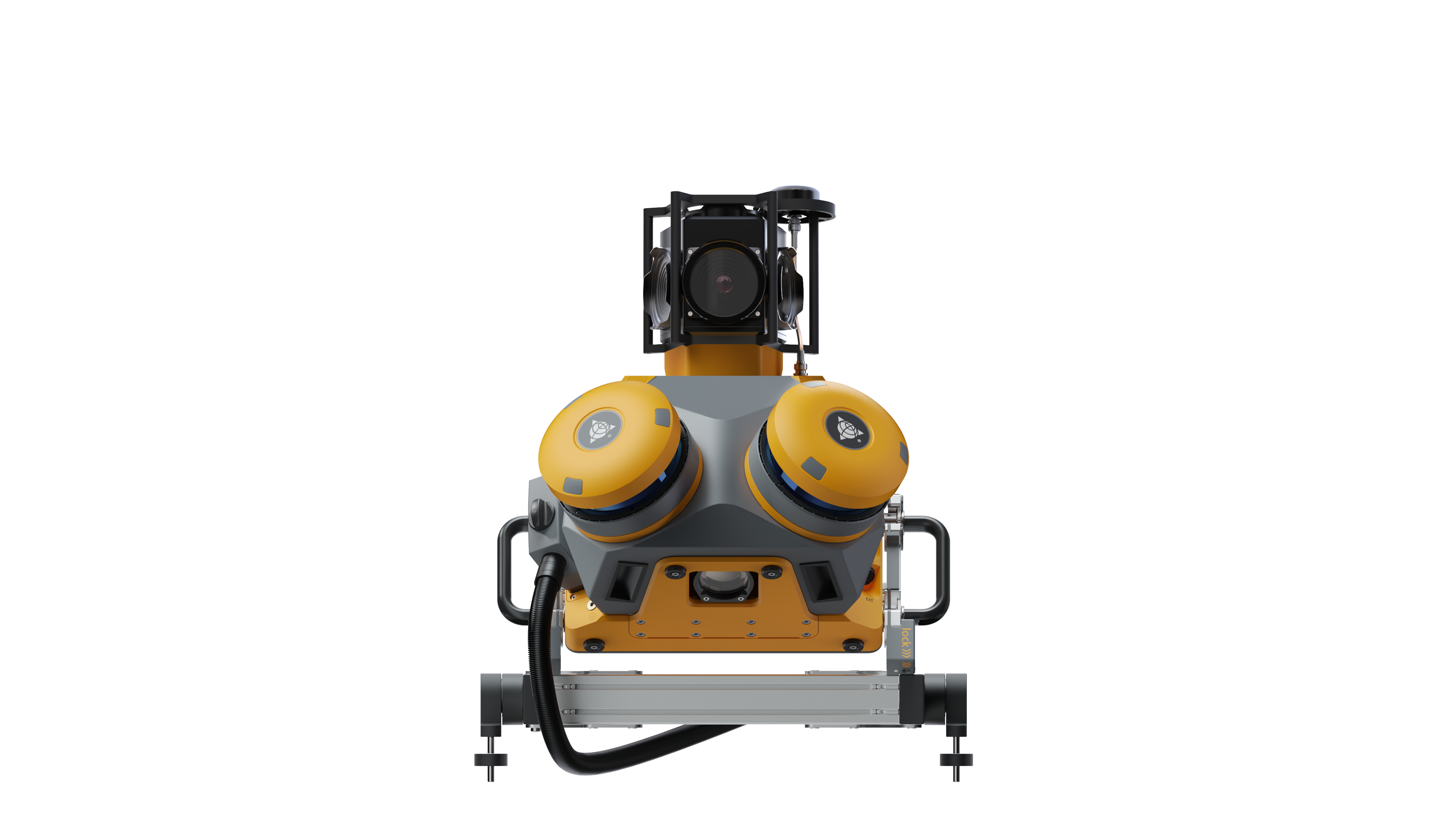
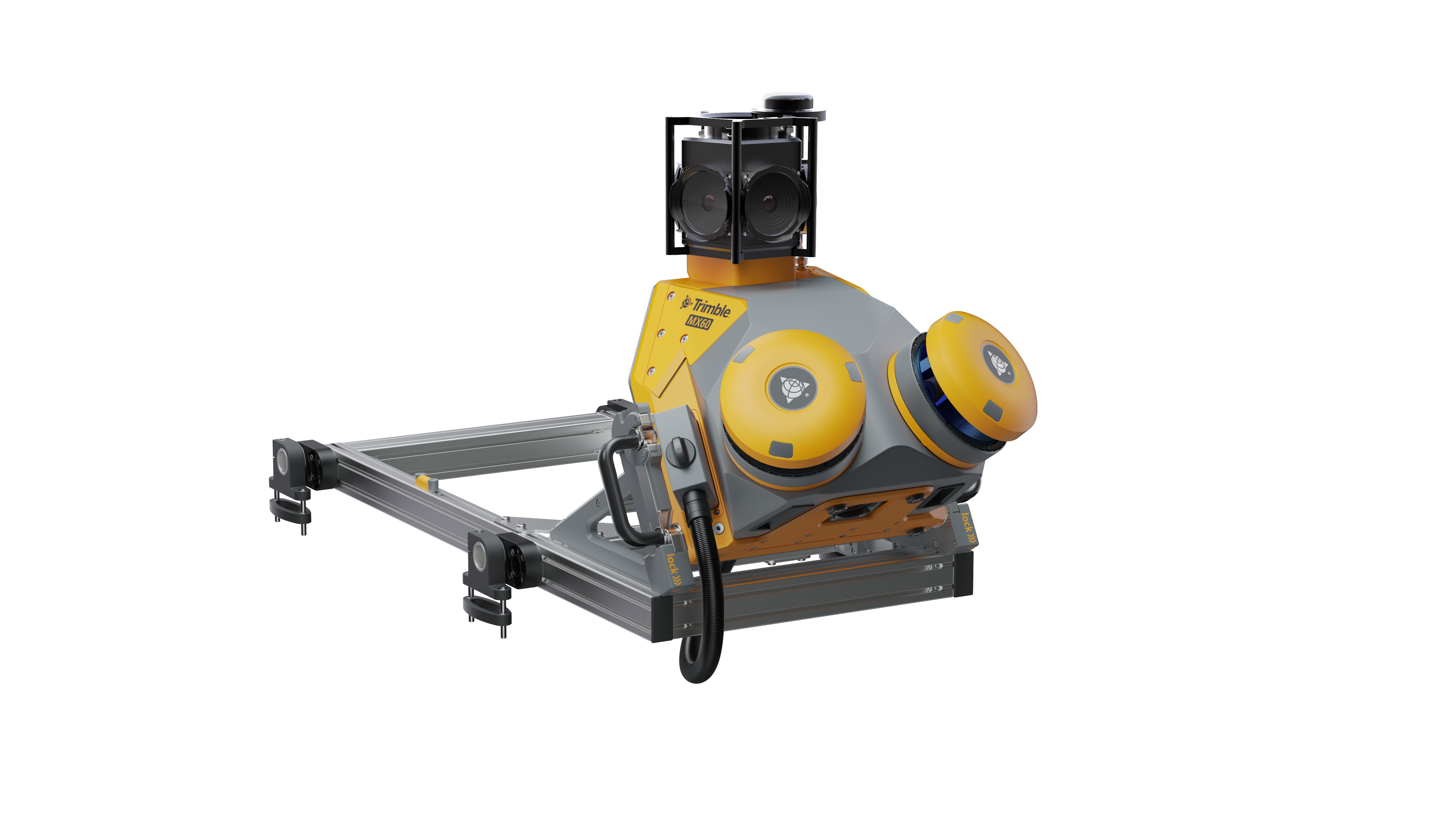
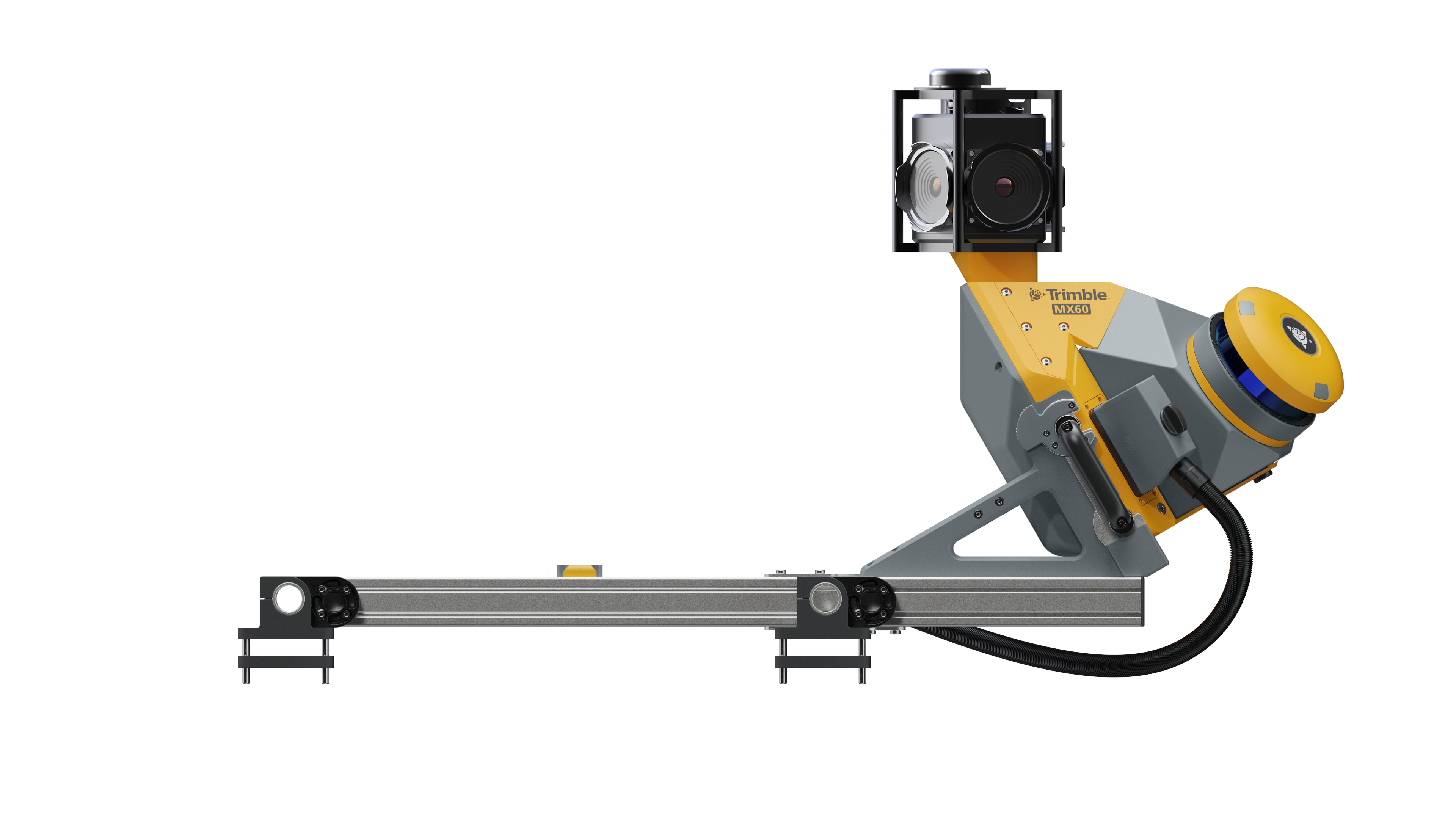
Trimble MX60
Each project is a journey. Enjoy the ride.
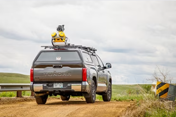
The Trimble® MX60 mobile mapping system delivers powerful mobile scanning and imaging for asset management. Take control of your data capture and choose from core, pro or premium models to fit your needs and ensure the perfect solution for every project.
CAPTURE
Quickly obtain asset data
High-quality colorized point clouds and 360° immersive imagery with simple, smart device operation and single cable sensor connection.
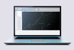
PROCESS
Process vehicle trajectory
Trajectory data processing using tightly coupled GNSS and inertial data incorporated into Trimble Business Center (TBC) office software.
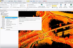
EXTRACT
High-quality deliverables
Create surveying, engineering and GIS deliverables using existing data schemas and connect to existing asset databases.

SHARE
Publish, collaborate and store
Share point clouds and asset images via the cloud to all stakeholders. Extract asset information and store in the cloud, easily accessible for non-technical users.

Choose your model

Trimble MX60 Core
Kick-start your journey
The perfect companion for asset management at scale.
Trimble MX60 Pro
See the road ahead.
Elevated imaging, perfect for road analysis and crack detection.

Trimble MX60 Premium
Capture it all, in a flash
Comprehensive data capture with confidence.